For most of its history, Beaufort Street has been a transport corridor. The tram arrived in 1900 and shaped the shopping strips we enjoy today. Trams are long gone, but the street remains one of Perth’s busiest bus routes.
1900
First trams
Along Beaufort Street
~2 km
CBD to Highgate
Walkable
40 km/h
Inglewood strip
Speed limit
By bus
Beaufort Street is served by several Transperth bus routes running between the city and the northern suburbs. At the time of writing these include routes 66, 67 and 68 and the high-frequency 950, which links the city with Mount Lawley and beyond. Routes and timetables change, so always check the Transperth journey planner or app before you travel.
Tips:
- Tap on and off with a SmartRider card, or use a contactless bank card where accepted.
- Buses can be crowded at peak times and on weekend evenings.
- Late-night services are less frequent; check the last bus before you head out.
By train
There is no train station on Beaufort Street itself.
- Perth Station is a short walk from the city end of Beaufort Street.
- Mount Lawley Station, on the Midland line, is east of the Mount Lawley strip. It is a longer walk to Beaufort Street, so many people transfer to a bus.
On foot
The city end of Beaufort Street is walkable from the CBD, and Highgate is around 2 km from the city centre. The City of Vincent says Hyde Park is about a 20-minute walk from Perth train station. See our walking tour for a route.
By bike
Beaufort Street is a busy road with heavy traffic. Many cyclists prefer quieter parallel streets and local bike routes. Use lights at night, lock your bike to a proper rack and check the Department of Transport’s Perth bike maps for recommended routes.
By car
Parking
- Street parking is available on side streets, but most is time-limited.
- Clearways apply on parts of Beaufort Street at peak times on weekdays. Parking there can result in fines or towing.
- Council car parks are available near the main strips; most are paid or time-limited.
- Near Hyde Park, the City of Vincent says free three-hour parking is available on surrounding streets.
- Residential permit zones are common. Read the signs carefully.
Driving
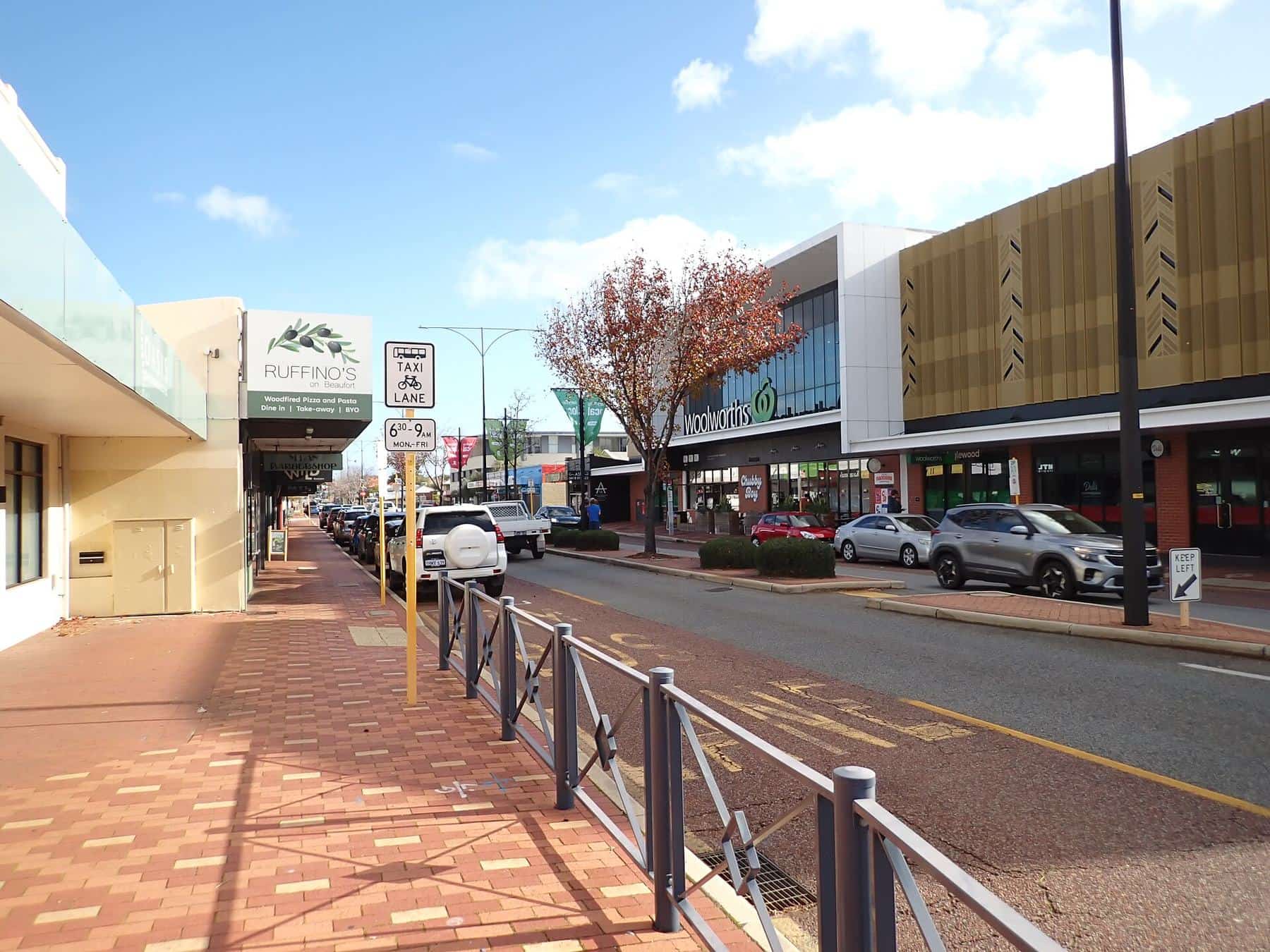
Expect congestion at peak times and on Friday and Saturday nights. The strip through Inglewood has a 40 km/h limit, and pedestrian activity is high throughout.
Taxis and rideshare
Taxis and rideshare services operate throughout the area. Pick-up points on side streets are often easier and safer than stopping on Beaufort Street itself.
The tram era
The City of Vincent’s histories record that the Perth Electric Tramway extended its route along Beaufort Street in 1900, stimulating commercial growth. By 1906 the line had been extended along Walcott Street to York Street, an extension underwritten by developers Copley & Robinson. By 1924 a single-track extension ran from a terminus at Lincoln Street in Highgate along Lord Street, through the Mount Lawley subway, to Maylands. The trams explain why Beaufort Street’s shops cluster in strips: each stop created its own small centre.
Cars arrive
In 1938 a "Star" motor garage and service station opened on the south-east corner of Walcott and Beaufort streets. The City of Vincent describes it as a sign of the motor car’s arrival, and of the growing congestion on William, Beaufort and Lord streets and East Parade as they became major traffic routes in and out of Perth. In the 1950s and 60s, car culture and new suburban shopping centres put pressure on Beaufort Street’s smaller shops, before the street’s revival from the late 1980s.
Visiting at night
Beaufort Street is busiest on Thursday, Friday and Saturday nights. Plan ahead:
- Check the last bus times before you go out.
- If you are driving, read parking signs carefully, as restrictions can change in the evening.
- Agree a meeting point with friends, such as the Astor or a side-street corner.
- Wait for taxis or rideshare away from the main road traffic.
From the airport
Perth Airport is east of the city. You can take the train from the airport stations to Perth and then a bus or a walk to Beaufort Street, or take a taxi or rideshare directly. Check Transperth for current services and travel times, especially early in the morning or late at night.
Planning a day without a car
A car-free day works well. Catch a bus to the city end and visit the museum or gallery, walk up to Highgate for lunch, detour through Hyde Park, continue to the Astor for the afternoon, and catch a bus home after dinner. Our walking tour lays out the route.
Accessibility
- Most footpaths are flat or gently sloping.
- Signalised crossings are available at major intersections.
- Many Transperth buses are wheelchair accessible; check the timetable for accessible services.
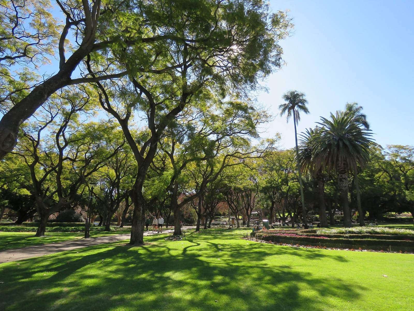
- Hyde Park has an accessible playground, a Liberty Swing and accessible toilets.
- Some older shopfronts have steps; contact venues in advance.
Trip planning checklist
0 of 5 done
Ticks are saved in this browser only.
Where to start
- Highgate: get off near Mary Street.
- Mount Lawley: get off near Walcott Street for the Astor.
- Inglewood: get off near Dundas Road for the clock tower.
Continue
Explore the neighbourhoods hub to decide where to go.
Frequently asked questions
Which buses go along Beaufort Street?
Several Transperth routes use Beaufort Street, including routes in the 60s series and route 950. Routes and timetables change, so check the Transperth journey planner before you travel.
Is there a train station on Beaufort Street?
No. The nearest stations are Perth Station and the Perth Busport area at the city end, and Mount Lawley Station on the Midland line, a walk east of Beaufort Street.
Where can I park?
Street parking and some council car parks are available near the strips. Most parking is time-limited or paid, and clearways apply at certain times. Always check signs.
How far is Beaufort Street from the Perth CBD?
The street starts on the northern edge of the CBD beside the Perth Cultural Centre. Highgate is about 2 km from the city centre, Mount Lawley’s Walcott Street junction is a little further, and Inglewood is further north-east. Buses cover the whole length.
Sources and further reading
Facts on this page were checked against these primary and official sources. Conditions change — confirm before you travel or buy.
- Highgate history — City of Vincent Library & Local History Centre